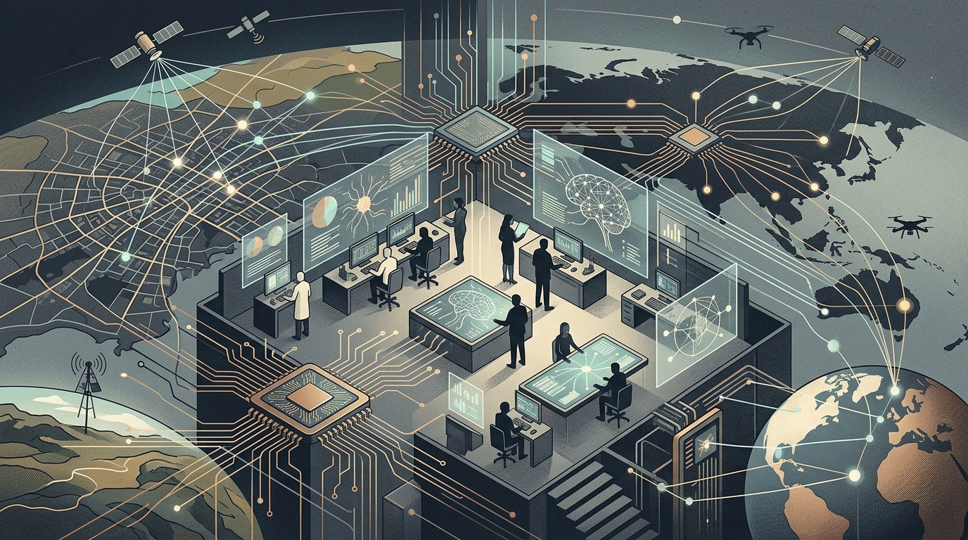
The history of Geospatial Intelligence (GEOINT) began with hot air balloons and film canisters dropped from space with parachutes. Today, we stand at the threshold of a revolution where Artificial Intelligence doesn't just assist analysts but takes the helm of global surveillance. Recent analysis from Breaking Defense highlights a critical turning point: the sheer volume of data collected by thousands of Low Earth Orbit (LEO) satellites has long surpassed human processing capacity. AI is now the only escape from this "data deluge."
From Recognition to Prediction
Traditionally, geospatial intelligence answered the question "what is there?". Analysts pored over imagery to identify missile silos or troop movements. With the integration of Machine Learning, the question shifts to "what will happen next?". Algorithms no longer just recognize a tank; they analyze "patterns of life." If a supply base shows unusual activity at 3 AM, AI can sound the alarm for an imminent operation before a human even opens the image file.
This shift to predictive analytics is a game-changer. In Ukraine, we have seen how the combination of commercial satellite data and AI allowed smaller forces to maintain an almost "god-like" view of the battlefield in real-time. Geospatial intelligence is no longer the exclusive province of superpowers; it is a tool being democratized through the commercial sector.
Edge Computing: Intelligence in Space
One of the most significant developments is moving processing directly onto the satellite (Edge AI). Instead of sending monstrous packets of raw data to ground stations—a process that costs time and bandwidth—modern satellites process information in orbit. A satellite can now "decide" on its own that an image is uninteresting (e.g., cloud-covered) or send only the coordinates of a target it has automatically detected.
- Automated change detection in critical infrastructure.
- Data fusion from diverse sensors (optical, SAR radar, thermal).
- Reduction of the sensor-to-shooter cycle time.
The Challenges of Ethics and Reliability
However, reliance on AI carries significant risks. The phenomenon of "hallucinations" is not limited to chatbots. An algorithm can misinterpret shadows as military hardware or fall victim to "adversarial attacks," where an enemy uses specific camouflage patterns designed to confuse AI. The need for a "human-in-the-loop" remains imperative, but as the speed of warfare increases, the pressure for full automation grows.
"The geospatial intelligence of the future is not about images; it is about answers. AI is the bridge that turns pixels into political and military power."
In conclusion, geospatial intelligence is entering a phase where information becomes instantaneous and universal. The nation or organization that manages to train the best AI models on geospatial data will hold the strategic advantage in the 21st century. The transparency offered by this technology can act as a deterrent to conflict, but it can also lead to a new era of absolute surveillance, where nothing remains hidden under the sun.