For decades, the world's oceans have remained one of science's most enduring enigmas. Despite technological leaps, mapping subsurface currents relied on a patchwork of sparse data from buoys, ships, and satellites that often failed to capture the chaotic complexity of moving water masses. Today, researchers from the University of Rhode Island (URI) have announced a groundbreaking approach that utilizes Artificial Intelligence to transform satellite data into a living, high-definition map of our oceans.
The Challenge of Invisible Motion
Oceans are not merely vast reservoirs of water; they are Earth's thermal engine. Currents transport heat from the equator to the poles, regulating weather patterns, fisheries, and the survival of marine ecosystems. However, monitoring these currents in real-time has always been problematic. Traditional satellites can measure sea surface temperature (SST) and sea surface height (SSH), but understanding what happens beneath the surface required complex mathematical models that often missed micro-scales—the small eddies and jets that play a pivotal role in energy transfer.
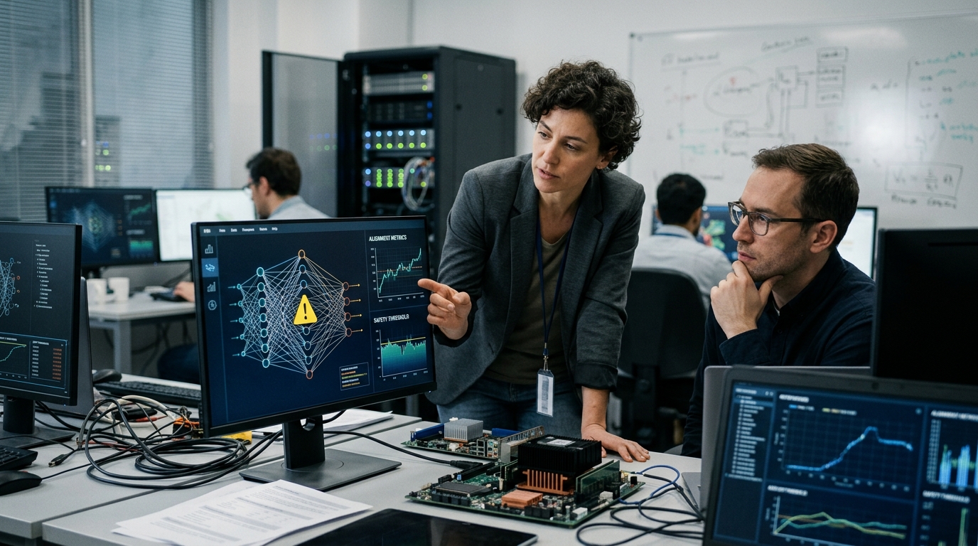
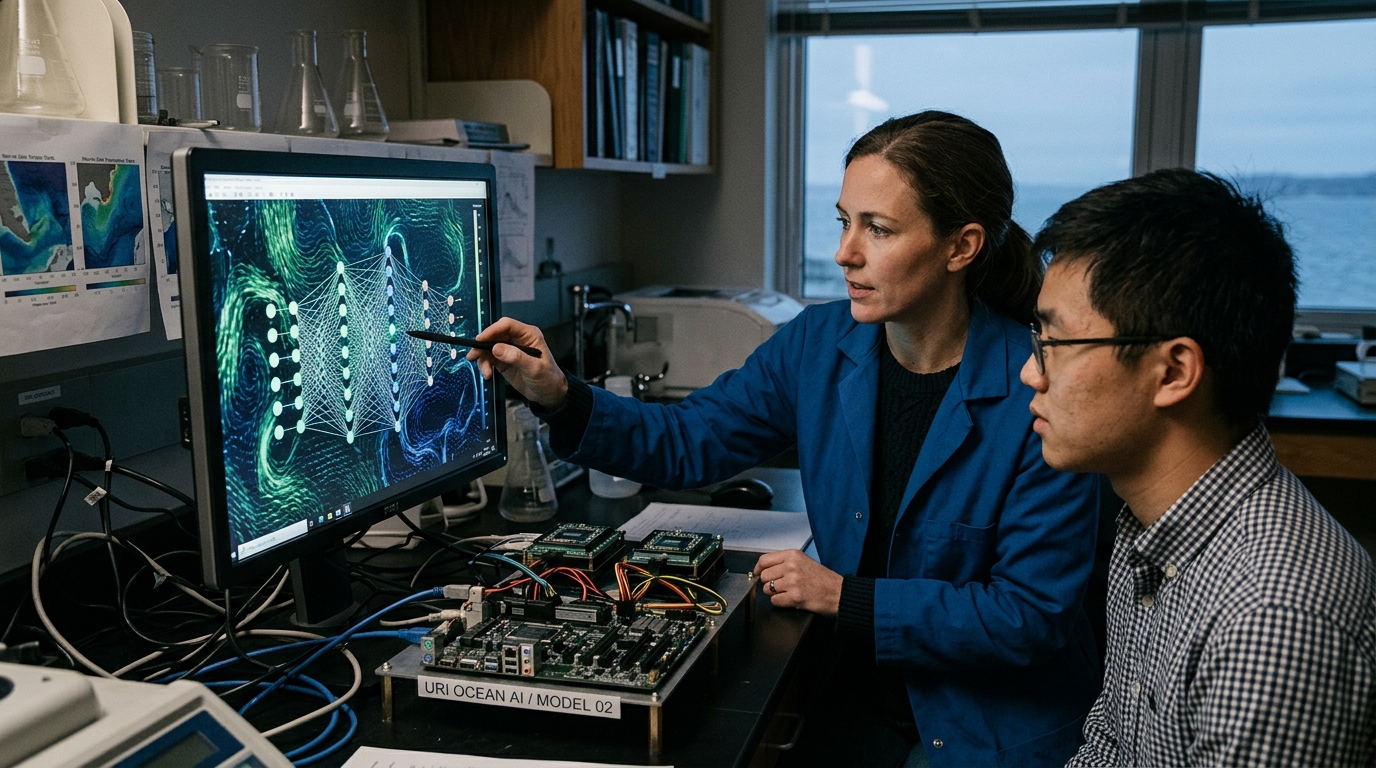
The URI team, led by scientists from the Graduate School of Oceanography (GSO), developed a deep learning model trained to recognize patterns across massive datasets. Instead of trying to solve fluid dynamics equations in the traditional sense, the AI "learns" how changes in surface temperature and height imply the existence of deeper currents. It is akin to seeing the wrinkles in a bedsheet and being able to accurately predict the movement of the body beneath it.
AI and Physics in Harmony
What sets this approach apart is that it is not purely data-driven; it incorporates physical constraints. This is what scientists call "Physics-Informed Neural Networks" (PINNs). The model doesn't just suggest random water movements; its predictions must obey the laws of conservation of mass and momentum. This hybrid approach allows the AI to "fill in the gaps" where satellites are blinded by clouds or poor resolution.
- Precision: The new method offers resolution up to ten times superior to current global models.
- Speed: Where supercomputers once took days to simulate a region, the AI can provide results in seconds.
- Accessibility: Using satellite data means we can monitor remote areas like the Southern Ocean, where deploying ships is dangerous and expensive.
Climate Change and Geopolitical Significance
The significance of this breakthrough extends far beyond academic curiosity. As the climate crisis accelerates, the Atlantic Meridional Overturning Circulation (AMOC)—Europe's "radiator"—is showing signs of weakening. The ability to monitor these changes with centimeter-level precision could provide the necessary warning for impending climatic shifts. For nations with vast coastlines, understanding these currents is vital for managing coastal erosion and predicting the trajectory of oil spills or plastic pollution.
"We aren't just looking at the surface anymore. We are seeing the pulse of the planet," says one of the lead researchers. "AI has allowed us to turn static data into a dynamic understanding of planetary mechanics."
However, this technology also raises strategic questions. Precise knowledge of ocean currents is a tactical advantage. From submarine navigation to optimizing merchant ship routes for fuel efficiency, those who possess the best algorithms effectively control the seas. While URI promises open access to the data, the race for dominance in "Blue AI" has undoubtedly begun.
Looking Toward the Future
The integration of AI into oceanography marks the end of the era of guesswork. In the future, "digital twins" of our oceans will allow us to test scenarios: What happens if the temperature rises by 0.5 degrees? Where will plastics dumped in the Indian Ocean eventually surface? The answers now lie within the neural network codes being refined on the shores of Rhode Island, offering a clearer lens through which to view our blue planet's uncertain future.