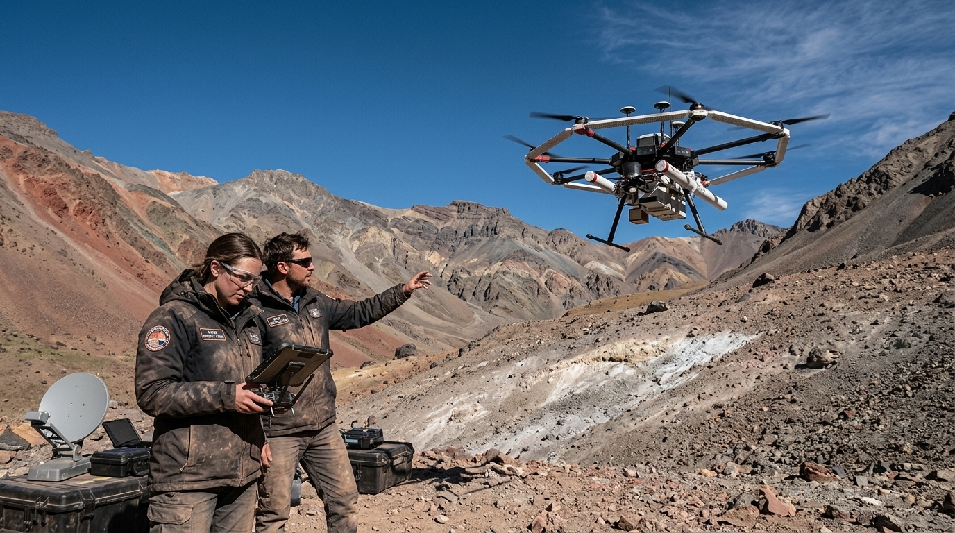
The search for water on Mars is no longer a theoretical exercise for astrophysicists, but an urgent necessity for the survival of future colonists. As humanity prepares for the next giant leap beyond the Moon, the technology that will allow us to 'see' beneath the surface of the Red Planet is evolving at a breakneck pace. These new 'cosmic dowsers' do not hold wooden sticks; they are sophisticated drones equipped with Ground-Penetrating Radar (GPR), capable of mapping subsurface ice deposits with centimeter-level precision.
The Legacy of Ingenuity and the New Generation
The success of Ingenuity, NASA's small helicopter that exceeded all expectations on the Martian surface, proved that flight in the extremely thin Martian atmosphere is possible. However, Ingenuity was primarily a technology demonstrator. Its successors will be true scientific laboratories. Using drones offers a unique advantage: they can cover vast distances much faster than traditional rovers, while simultaneously flying at very low altitudes—something impossible for orbiting satellites.
Low-altitude flight is the 'key' for radar operation. Orbiting radars are often hindered by surface roughness and atmospheric interference, yielding low-resolution images. In contrast, a drone flying just a few meters above the ground can send signals that penetrate deep into the subsurface, returning detailed maps of ice layers. This ice is not just a water source for astronauts; it is the raw material for producing oxygen and rocket fuel through electrolysis.
ISRU: The Strategy of Self-Sufficiency
The concept of 'In-Situ Resource Utilization' (ISRU) is the cornerstone of NASA's and SpaceX's plans. The cost of transporting a kilogram of water from Earth to Mars is prohibitive. Therefore, the ability to locate and extract water directly from the Martian subsurface is what will determine whether a colony will be sustainable or if it will remain a prohibitively expensive experiment.
These new 'dowsers' will focus on Mars' mid-latitude regions. While the planet's poles are rich in ice, temperatures there are extreme, and winter darkness lasts for months. The mid-latitudes offer a milder climate and more solar energy, but the ice there is buried under meters of dust and rock. This is precisely where drone-mounted GPR technology becomes indispensable, acting as the 'scout' that will point future drills to the right spots.
Technological Challenges and Geopolitical Implications
Of course, sending drones to Mars is not without its difficulties. The Martian atmosphere has only 1% of Earth's density, requiring rotors that spin at immense speeds or have a much larger surface area. Furthermore, autonomy is critical. Due to the communication delay with Earth (ranging from 4 to 24 minutes), these drones must possess advanced artificial intelligence to navigate autonomously, avoid obstacles, and make real-time decisions about which areas show the most promise.
Beyond the technical aspects, legal and political issues are emerging. Who owns the water on Mars? If a private company identifies a massive ice deposit using its own drones, does it have exclusive exploitation rights? The 1967 Outer Space Treaty is vague on these points, and the advent of 'dowsers' may accelerate the need for a new international space law. Mars is transforming from a field of scientific observation into a field of economic and strategic competition.
Conclusions for the Future
The use of drones to locate water marks a paradigm shift. We are no longer going to Mars simply to photograph the landscape, but to settle it. These 'dowsers' are the harbingers of a new era, where robotics and artificial intelligence will prepare the ground—literally—for human arrival. The water discovered by these small flying machines will be the foundation upon which the first cities of another world will be built.