The analysis of satellite and aerial imagery has entered a transformative era with the advent of Geospatial Foundation Models (GeoFMs). According to research recently published on ArXiv, these AI/ML models, pre-trained on massive geospatial datasets, are enabling a fundamental shift in how spatial data is processed and understood.
A Separation of Duties
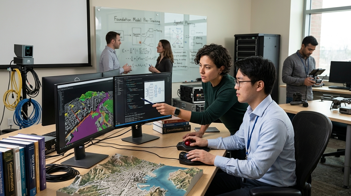
The core paradigm shift enabled by GeoFMs is a "separation of duties." Large-scale model providers handle the computationally intensive pre-training phase, which allows domain experts to rapidly fine-tune or prompt these models for specific, mission-critical tasks. This approach democratizes access to state-of-the-art AI while maintaining the security and confidentiality of downstream operations.
Technological Capabilities and Operationalization
The paper distinguishes between two primary types of GeoFMs based on their training methodologies:
- Vision Models: Created through self-supervised techniques like masked auto-encoding, these models are highly effective for fine-tuning on specific visual tasks.
- Vision-Language Models: Produced via contrastive learning, these enable zero-shot capabilities such as open-vocabulary image analysis.
To bridge the gap between research and practice, the authors introduce a taxonomy of model adaptation strategies. This framework assists domain experts in selecting the most cost-effective adaptation approach for their specific mission sets, supported by performance-cost analysis within the broader MLOps ecosystem.
The Future: Agentic Geospatial Reasoning
The research concludes with a forward-looking vision of "Agentic Geospatial Reasoning." In this paradigm, Large Language Models (LLMs) serve as intelligent orchestrators. By leveraging GeoFMs as specialized tools, these agents can answer high-level user queries in natural language and automate complex analytical workflows. This transition marks the movement of the field from mere perception to true geospatial cognition.